TO REPORT A WILDFIRE DIAL 911
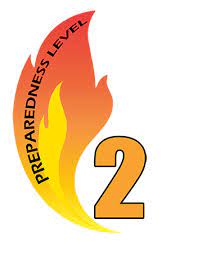
VT Statewide Preparedness Level - 2
Eastern Area Preparedness Level - 1
National Preparedness Level - 1
Activity Summary
Fire activity is currently minimal.
Latest Map of Vermont Wildland Fire Incidents
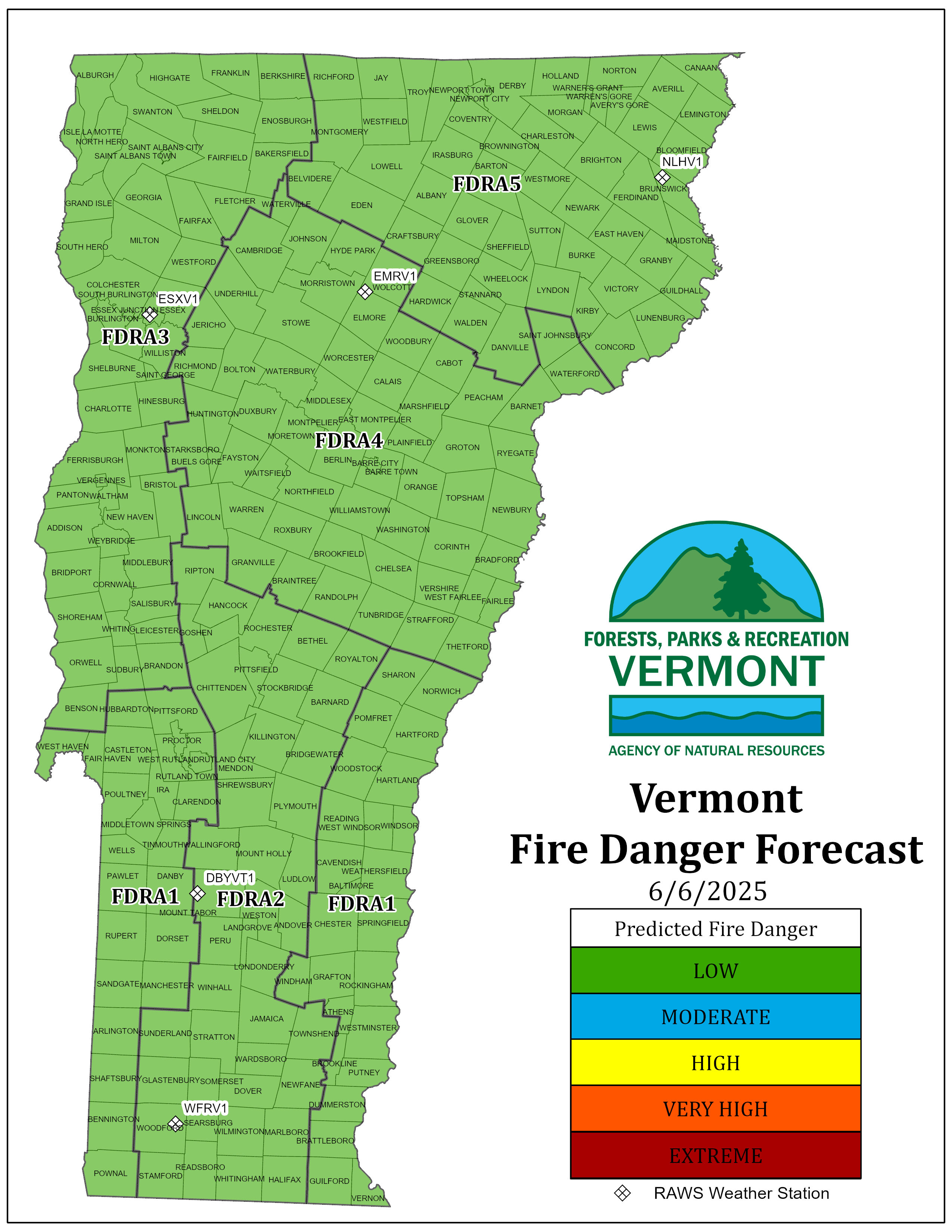
Daily Fire Danger Map (Updated daily March 20-November 30)
FEMS (Fire Environment Mapping System) View the latest conditions at Remote Automated Weather Stations (RAWS).
Wildland Fire Information
Statewide YTD Fires: 20
Statewide YTD Acres: 27.79
(updated 4/24/24)
Burning Restrictions
No current additional State issued burning restrictions. Local conditions vary, and Town Forest Fire Wardens may have burning restrictions in place. Always contact your local fire warden to obtain a burn permit prior to any open burning- it’s the law! 10 V.S.A. § 2645
Vermont Town Forest Fire Warden Directory - Find Your warden
The current US Drought Monitor Map of VT opens in a new browser tab.
Eastern Area Coordination Center – Situation Updates